Executive dashboards
Clear portfolio, production, schedule, cost, and HSE indicators for faster decisions.
Seismic project intelligence
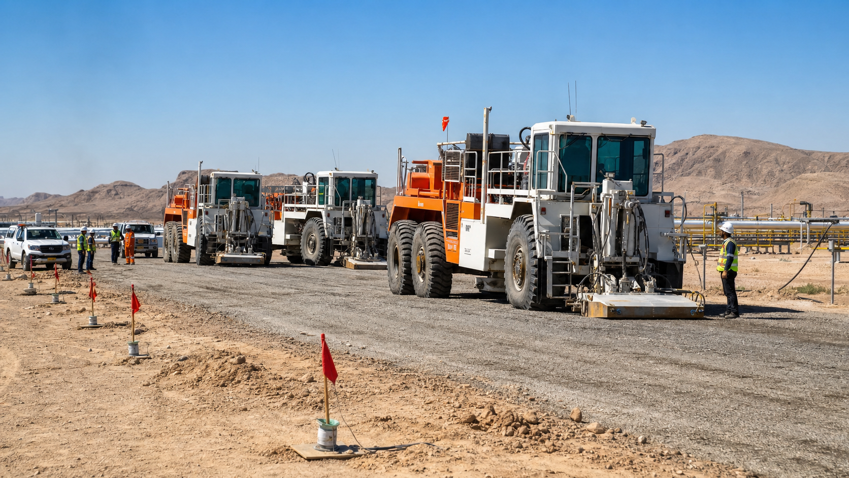
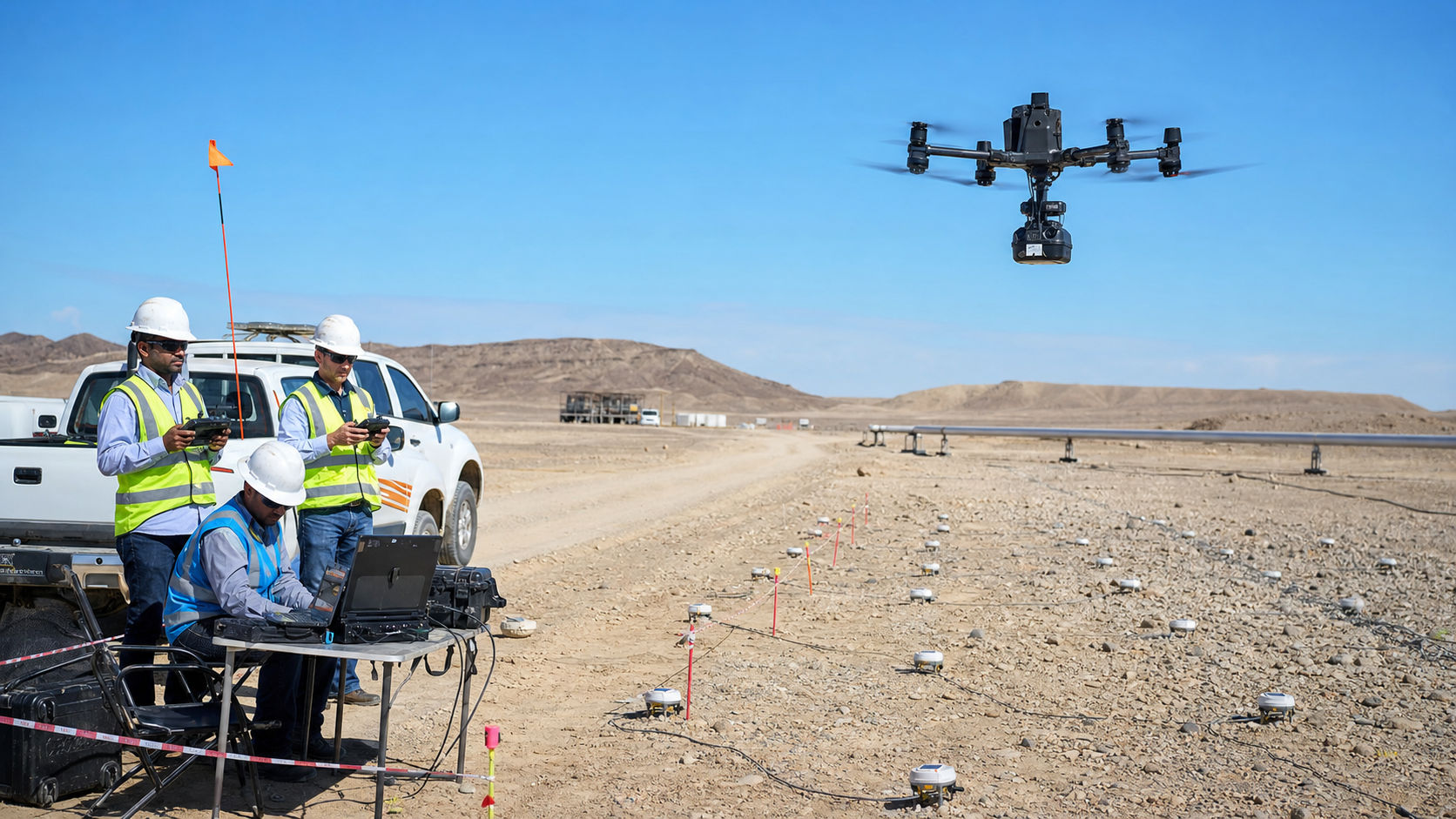
A secure platform that connects daily field reporting, production analytics, project controls, HSE visibility, cost intelligence, and executive reporting.
One controlled platform
GeoIntel brings operational records, analytics, governance, and management reporting into one secure workflow.
Clear portfolio, production, schedule, cost, and HSE indicators for faster decisions.
Daily, weekly, and monthly reporting generated from the same controlled data record.
Traceable documents, approvals, risk records, and quality checks throughout the project lifecycle.
Turn production, resource, terrain, schedule, and commercial data into consistent insight.
Designed for complex field programs
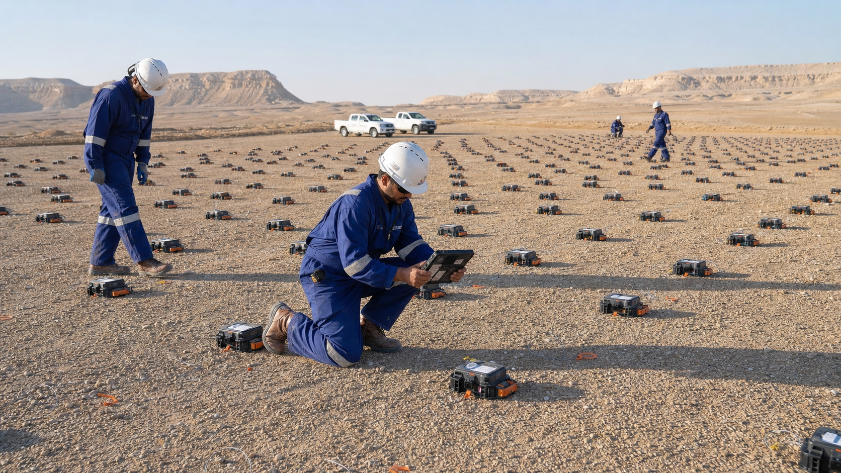
Field teams capture the record once; project and management teams use it across reporting, controls, assurance, and close-out.